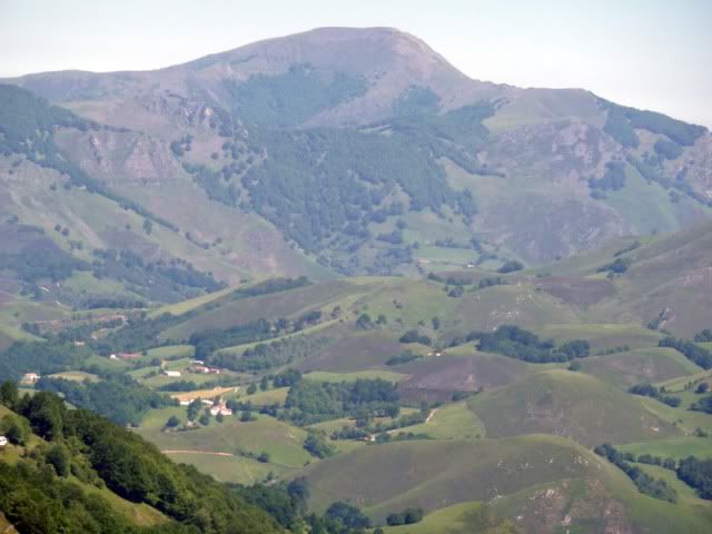
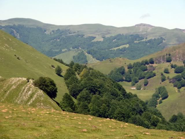
Caminaba ayer sobre las verdûÙsimas colinas de Sorogain cuando, de repente, me acordûˋ del Masters de Augusta. Del intenso color verde. Y la comparaciû°n fue inevitable. La primera parte de la jornada consistiû° en realizar una sencilla travesûÙa desde la Casa Pablo (albergue) hasta el collado Aztakarri. Pasûˋ por tres cimas: Lanotegi, Sorotepo y Beodegi. O lo que es lo mismo, el Masters de Sorogain.
Ubicaciû°n: Macizo de Lindus, Navarra.
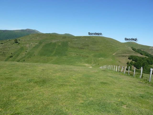
Cimas: Lanotegi (1.054m), Sorotepo (1.147m) y Beodegi (1.157m).
Desnivel acumulado: 435m.
Distancia: 6,34km.
Duraciû°n: 1h y 50min.
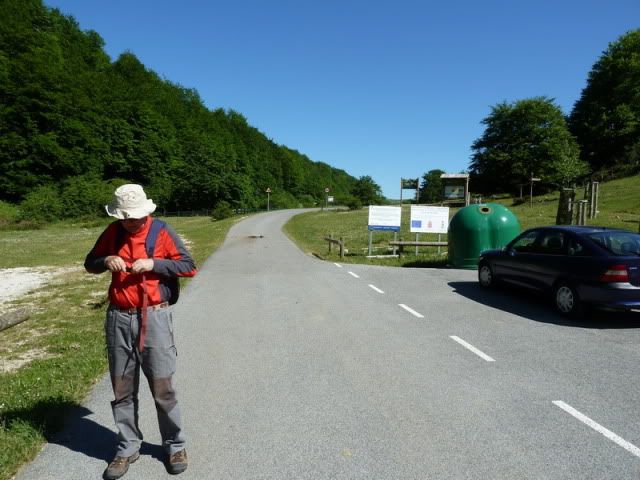
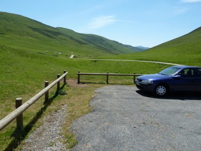
Acceso: Partimos desde el albergue Casa Pablo, en el corazû°n de Sorogain. Desde Donostia salimos direcciû°n Pamplona por la autovûÙa A-15. Circunvalamos la capital navarra por el tû¤nel de Ezkaba y vamos direcciû°n Roncesvalles. Coronamos el alto de Erro y seguimos hacia Mezkiritz. Tras pasar Bizkarreta-Gerendiain parte por la izquierda la estrecha carretera asfaltada que lleva a Sorogain. Ojo, porque el mapa seûÝala Bizkarreta-Gerendiain.
Ver mapa mûÀs grande 10:59. Aparcamos en la Casa Pablo (820m) y seguimos por el asfalto hacia el norte.
[url=http://s187.photobucket.com/albums/x273/jefoce/2010%20noviembre/?action=view&current=P1010339_.jpg]
[/url]
Mi padre se entretiene por la zona baja mientras yo tomo esta pista.
[url=http://s187.photobucket.com/albums/x273/jefoce/2010%20noviembre/?action=view&current=P1010340_repor.jpg]
[/url]
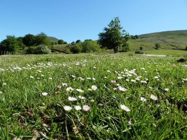
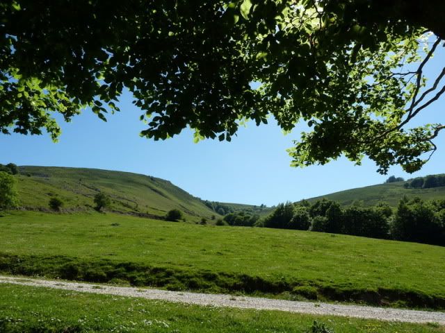
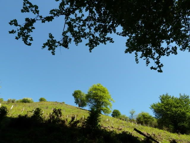
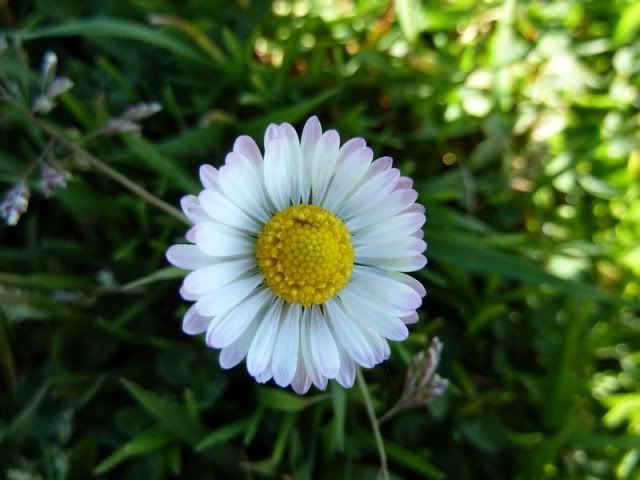
La primavera estûÀ a reventar.
[url=http://s187.photobucket.com/albums/x273/jefoce/2010%20noviembre/?action=view&current=P1010341_.jpg]
[/url]
[url=http://s187.photobucket.com/albums/x273/jefoce/2010%20noviembre/?action=view&current=P1010342_.jpg]
[/url]
Y aquûÙ me desvûÙo por la izquierda.
[url=http://s187.photobucket.com/albums/x273/jefoce/2010%20noviembre/?action=view&current=P1010343_repor.jpg]
[/url]
Una mirada al oeste.
[url=http://s187.photobucket.com/albums/x273/jefoce/2010%20noviembre/?action=view&current=P1010344_repor.jpg]
[/url]
Llama poderosamente la atenciû°n cû°mo, en pleno mes de mayo, los riachuelos bajan como si fuera agosto. Es decir, secos.
[url=http://s187.photobucket.com/albums/x273/jefoce/2010%20noviembre/?action=view&current=P1010345_.jpg]
[/url]
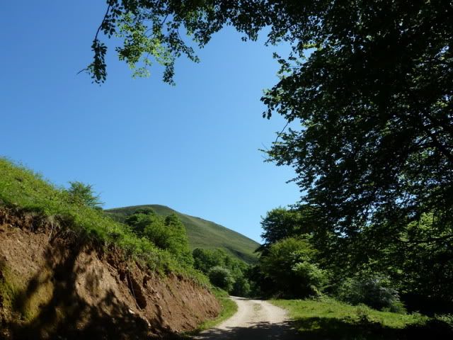
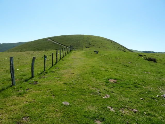
La monû°tona pista va ganando altura.
[url=http://s187.photobucket.com/albums/x273/jefoce/2010%20noviembre/?action=view&current=P1010346_.jpg]
[/url]
[url=http://s187.photobucket.com/albums/x273/jefoce/2010%20noviembre/?action=view&current=P1010347_.jpg]
[/url]
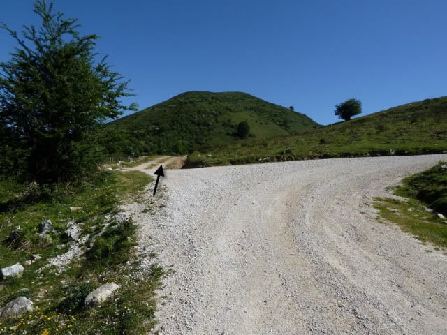
Hasta que alcanzo el collado de turno.
[url=http://s187.photobucket.com/albums/x273/jefoce/2010%20noviembre/?action=view&current=P1010348_.jpg]
[/url]
Me asomo a la vertiente bajonavarra. Naturaleza pura. Sin rastro del ser humano. Bien.
[url=http://s187.photobucket.com/albums/x273/jefoce/2010%20noviembre/?action=view&current=P1010349_.jpg]
[/url]
Y giro a la derecha (este) para ganar los û¤ltimos metros de la primera cima.
[url=http://s187.photobucket.com/albums/x273/jefoce/2010%20noviembre/?action=view&current=P1010350_.jpg]
[/url]
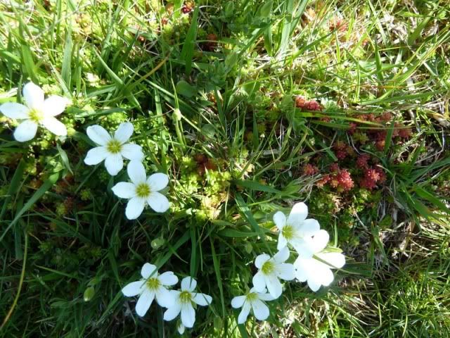
Explosiû°n floral.
[url=http://s187.photobucket.com/albums/x273/jefoce/2010%20noviembre/?action=view&current=P1010351_.jpg]
[/url]
[url=http://s187.photobucket.com/albums/x273/jefoce/2010%20noviembre/?action=view&current=P1010355_.jpg]
[/url]
[url=http://s187.photobucket.com/albums/x273/jefoce/2010%20noviembre/?action=view&current=P1010357_.jpg]
[/url]
11:41. Lanotegi (1.054m), en apenas cuarenta minutos desde Casa Pablo.
[url=http://s187.photobucket.com/albums/x273/jefoce/2010%20noviembre/?action=view&current=P1010358_.jpg]
[/url]
Una pano al noreste.
[url=http://s187.photobucket.com/albums/x273/jefoce/2010%20noviembre/?action=view&current=pano1_repor-6.jpg]
[/url]
Otra al sur. No sûˋ si existe algû¤n verde mûÀs intenso...
[url=http://s187.photobucket.com/albums/x273/jefoce/2010%20noviembre/?action=view&current=pano2_repor-1.jpg]
[/url]
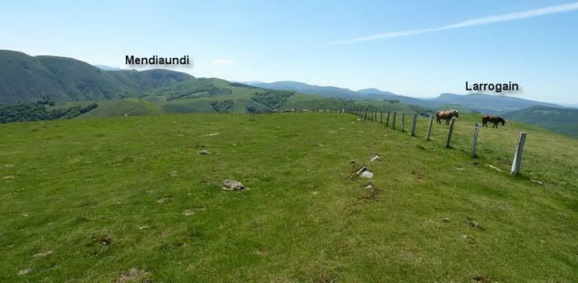
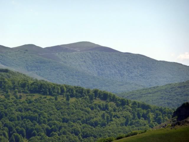
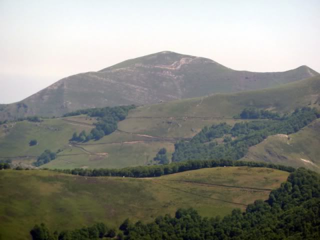
El Mendiaundi, bien protegido por bosques casi hasta su cû¤spide.
[url=http://s187.photobucket.com/albums/x273/jefoce/2010%20noviembre/?action=view&current=P1010363_.jpg]
[/url]
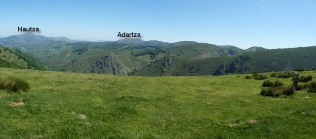
El Hautza, siempre altivo, defiende los dominios de Urepel.
[url=http://s187.photobucket.com/albums/x273/jefoce/2010%20noviembre/?action=view&current=P1010364_.jpg]
[/url]
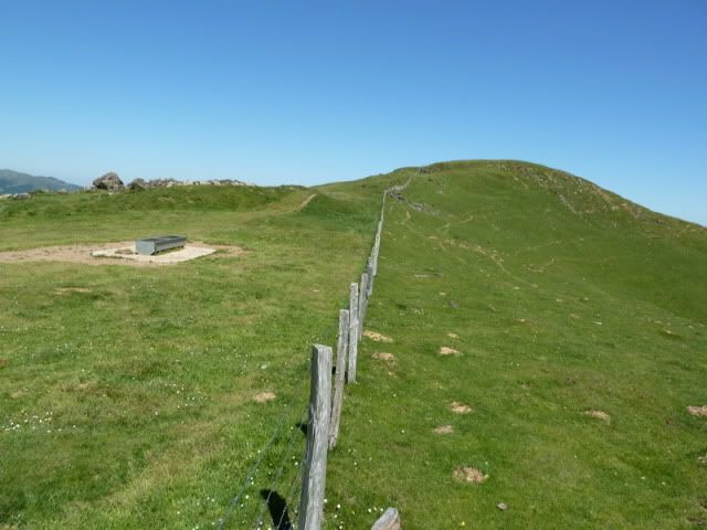
Vuelvo hacia el collado y tirarûˋ para el otro lado. AhûÙ tengo las dos cimas.
[url=http://s187.photobucket.com/albums/x273/jefoce/2010%20noviembre/?action=view&current=P1010365_repor.jpg]
[/url]
[url=http://s187.photobucket.com/albums/x273/jefoce/2010%20noviembre/?action=view&current=P1010366_.jpg]
[/url]
[url=http://s187.photobucket.com/albums/x273/jefoce/2010%20noviembre/?action=view&current=P1010368_.jpg]
[/url]
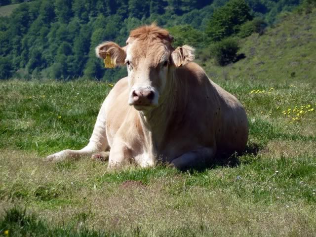
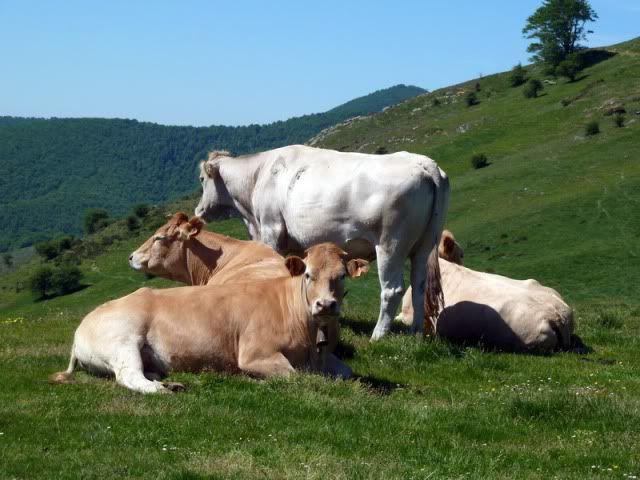
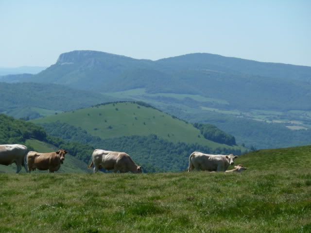
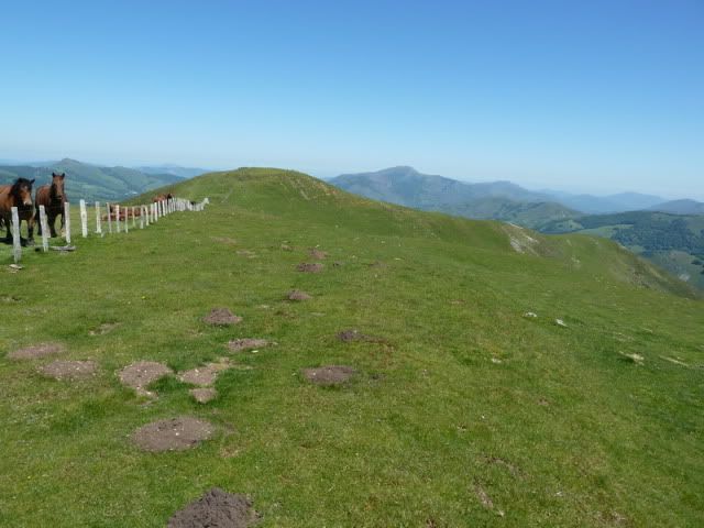
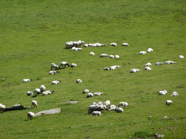
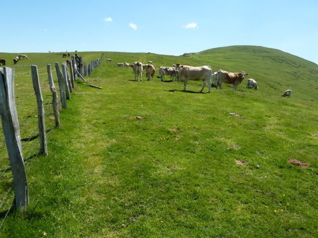
Un grupo de vacas no se termina de fiar de mi presencia.
[url=http://s187.photobucket.com/albums/x273/jefoce/2010%20noviembre/?action=view&current=P1010367_.jpg]
[/url]
[url=http://s187.photobucket.com/albums/x273/jefoce/2010%20noviembre/?action=view&current=P1010369_.jpg]
[/url]
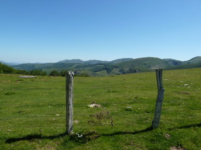
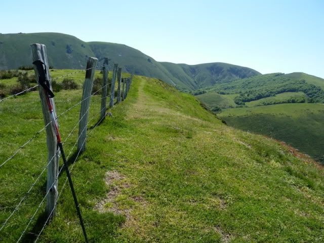
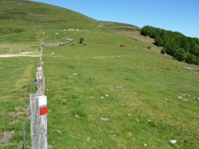
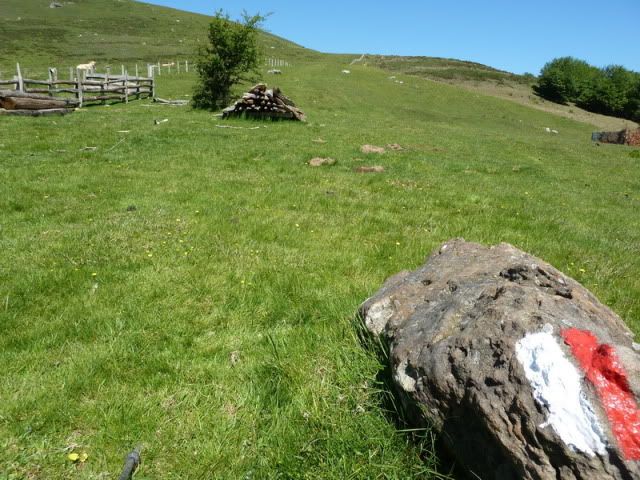
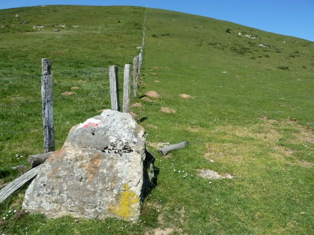
Camino en paralelo a la alambrada.
[url=http://s187.photobucket.com/albums/x273/jefoce/2010%20noviembre/?action=view&current=P1010370_.jpg]
[/url]
Un vistazo atrûÀs. Es difûÙcil no saber apreciar semejante belleza. Aunque hay gente para todo.
[url=http://s187.photobucket.com/albums/x273/jefoce/2010%20noviembre/?action=view&current=P1010371_.jpg]
[/url]
Avanzo sobre una suave moqueta. Aunque en la lejanûÙa, bastante mûÀs lejos de lo que estûÀn esas vacas, asoma el Larrogain. Tierra de incomodidades.
[url=http://s187.photobucket.com/albums/x273/jefoce/2010%20noviembre/?action=view&current=P1010372_.jpg]
[/url]
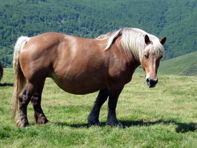
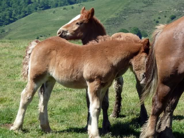
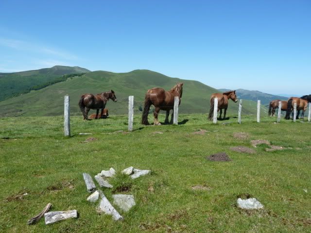
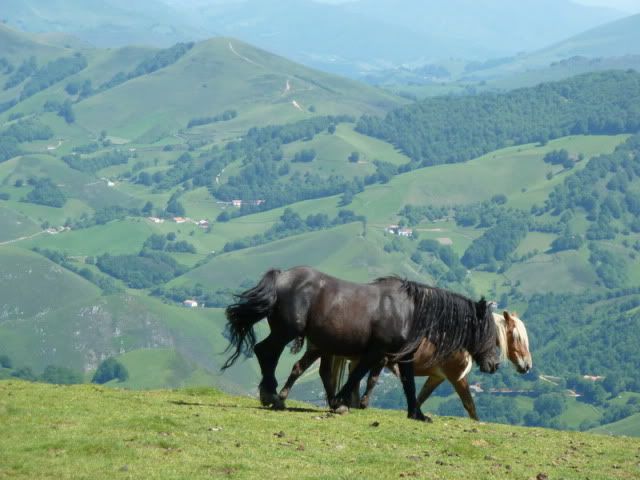
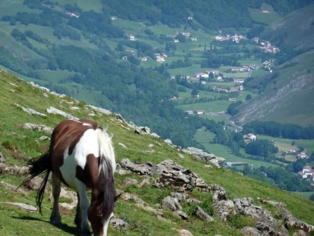
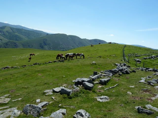
Turno de unos caballos. ûsta todavûÙa estûÀ embarazada.
[url=http://s187.photobucket.com/albums/x273/jefoce/2010%20noviembre/?action=view&current=P1010373_.jpg]
[/url]
[url=http://s187.photobucket.com/albums/x273/jefoce/2010%20noviembre/?action=view&current=P1010374_.jpg]
[/url]
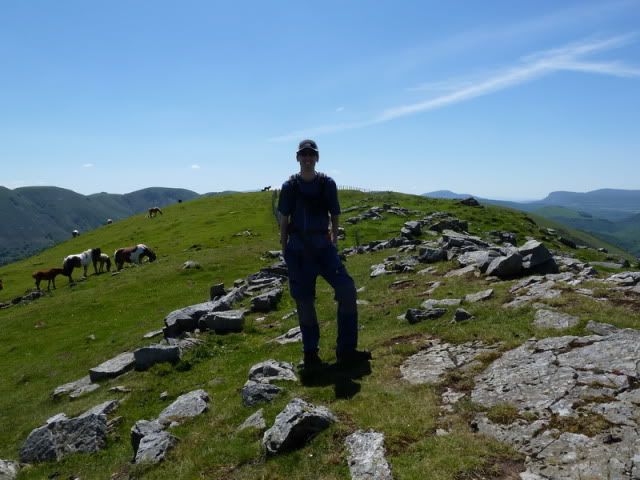
12:08. Sorotepo (1.147m).
[url=http://s187.photobucket.com/albums/x273/jefoce/2010%20noviembre/?action=view&current=P1010375_.jpg]
[/url]
La prolongaciû°n del cordal, un placer, hacia la tercera cumbre.
[url=http://s187.photobucket.com/albums/x273/jefoce/2010%20noviembre/?action=view&current=P1010376_.jpg]
[/url]
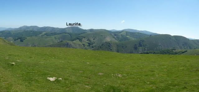
El cordal de Lindus.
[url=http://s187.photobucket.com/albums/x273/jefoce/2010%20noviembre/?action=view&current=pano3_repor-1.jpg]
[/url]
Una pano al sur.
[url=http://s187.photobucket.com/albums/x273/jefoce/2010%20noviembre/?action=view&current=pano4_repor-2.jpg]
[/url]
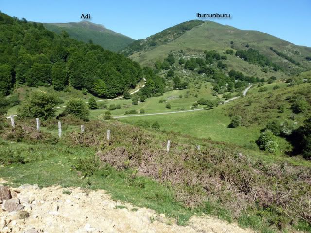
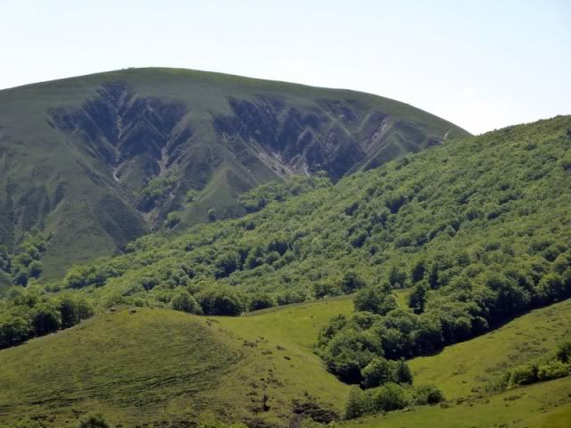
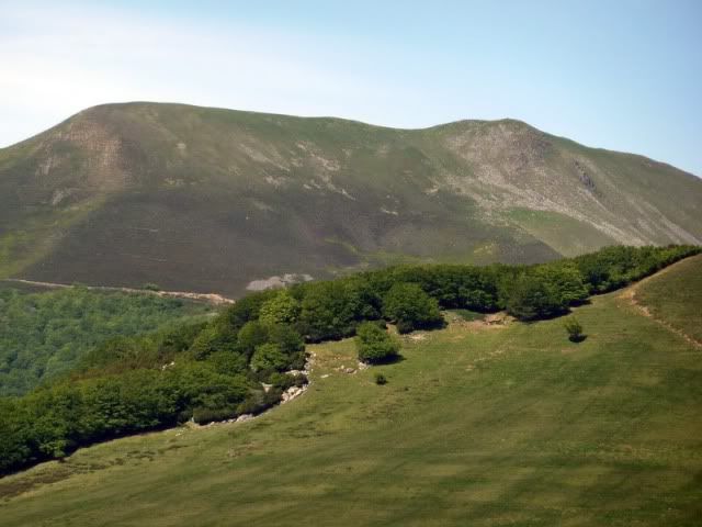
Detalle del Adi.
[url=http://s187.photobucket.com/albums/x273/jefoce/2010%20noviembre/?action=view&current=P1010381_.jpg]
[/url]
El Ortzanzurieta.
[url=http://s187.photobucket.com/albums/x273/jefoce/2010%20noviembre/?action=view&current=P1010382_.jpg]
[/url]
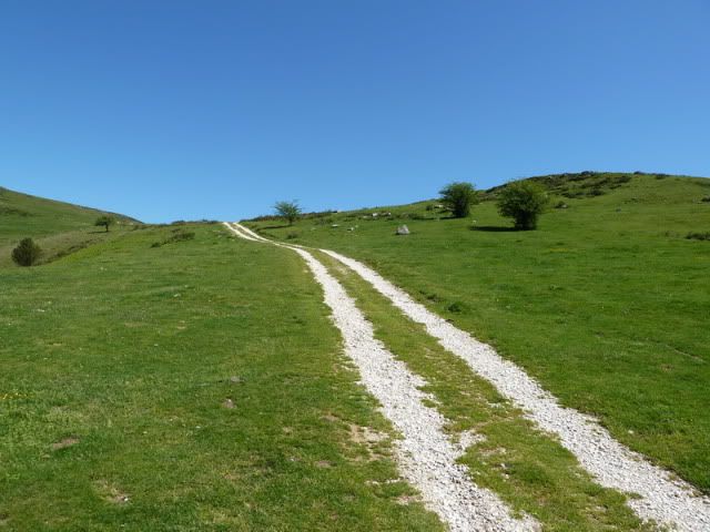
Sigo por el cordal.
[url=http://s187.photobucket.com/albums/x273/jefoce/2010%20noviembre/?action=view&current=P1010383_.jpg]
[/url]
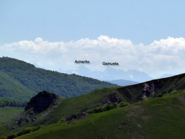
Y me acerco al Pirineo.
[url=http://s187.photobucket.com/albums/x273/jefoce/2010%20noviembre/?action=view&current=P1010384_repor.jpg]
[/url]
Urepel y sus caserûÙos diseminados. Un desorden ordenado.
[url=http://s187.photobucket.com/albums/x273/jefoce/2010%20noviembre/?action=view&current=P1010385_.jpg]
[/url]
[url=http://s187.photobucket.com/albums/x273/jefoce/2010%20noviembre/?action=view&current=P1010386_.jpg]
[/url]
Francamente, el dûÙa estûÀ para tirarse a la bartola...
[url=http://s187.photobucket.com/albums/x273/jefoce/2010%20noviembre/?action=view&current=P1010387_.jpg]
[/url]
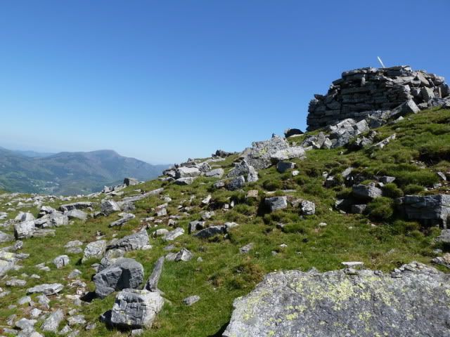
12:22. Beodegi (1.157m).
[url=http://s187.photobucket.com/albums/x273/jefoce/2010%20noviembre/?action=view&current=P1010388_.jpg]
[/url]
El Iturrunburu, flanqueando al Adi.
[url=http://s187.photobucket.com/albums/x273/jefoce/2010%20noviembre/?action=view&current=P1010389_.jpg]
[/url]
El entorno es bucû°lico a mûÀs no poder. Un buen rincû°n para comer algo.
[url=http://s187.photobucket.com/albums/x273/jefoce/2010%20noviembre/?action=view&current=P1010390_.jpg]
[/url]
El Adartza.
[url=http://s187.photobucket.com/albums/x273/jefoce/2010%20noviembre/?action=view&current=P1010391_.jpg]
[/url]
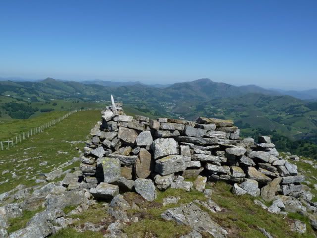
Dejamos constancia de nuestra presencia.
[url=http://s187.photobucket.com/albums/x273/jefoce/2010%20noviembre/?action=view&current=P1010392_.jpg]
[/url]
Y perdemos altura poco a poco camino de Sorogain.
[url=http://s187.photobucket.com/albums/x273/jefoce/2010%20noviembre/?action=view&current=P1010393_.jpg]
[/url]
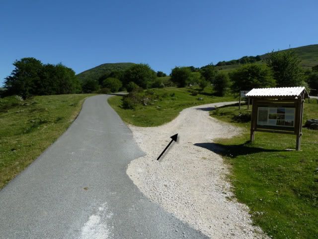
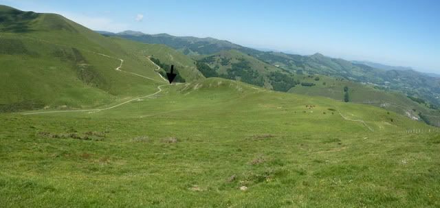
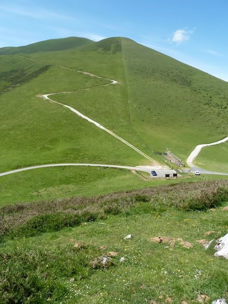
Me dirijo al collado Aztakarri, seûÝalado con la flecha negra.
[url=http://s187.photobucket.com/albums/x273/jefoce/2010%20noviembre/?action=view&current=pano5_repor-2.jpg]
[/url]
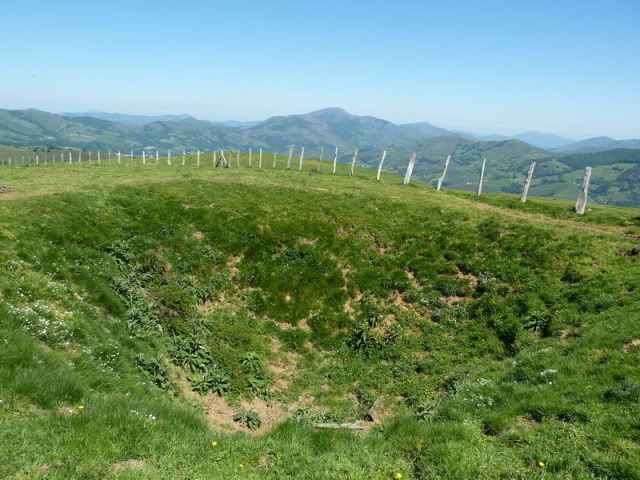
AquûÙ el hoyo principal del Masters de Sorogain... Un campo ideal para principiantes.
[url=http://s187.photobucket.com/albums/x273/jefoce/2010%20noviembre/?action=view&current=P1010396_.jpg]
[/url]
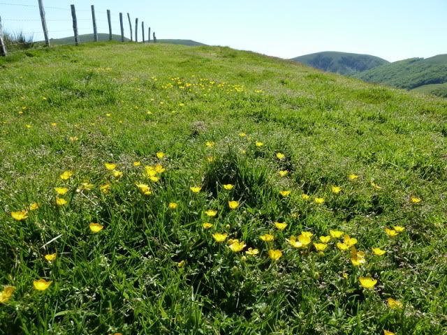
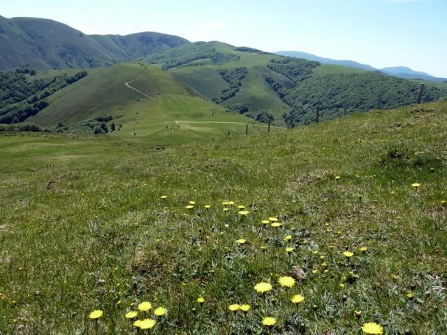
Caminar sobre estos pastizales lleva consigo olvidar la rutina del tiempo. Es inevitable.
[url=http://s187.photobucket.com/albums/x273/jefoce/2010%20noviembre/?action=view&current=P1010397_.jpg]
[/url]
PeûÝa de Alba.
[url=http://s187.photobucket.com/albums/x273/jefoce/2010%20noviembre/?action=view&current=P1010398_.jpg]
[/url]
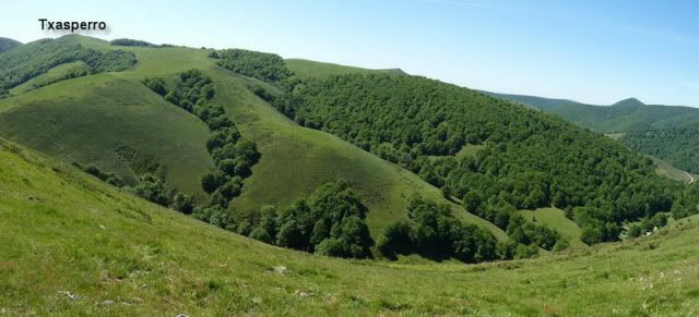
Sector del Okoro-Argintzo, entre Urkiaga y Artesiaga.
[url=http://s187.photobucket.com/albums/x273/jefoce/2010%20noviembre/?action=view&current=P1010399_.jpg]
[/url]
Ya diviso el collado y el coche.
[url=http://s187.photobucket.com/albums/x273/jefoce/2010%20noviembre/?action=view&current=P1010400_.jpg]
[/url]
12:50. Collado Aztakarri (972m). AquûÙ termina mi periplo. Mi padre ha venido en coche hasta aquûÙ.
[url=http://s187.photobucket.com/albums/x273/jefoce/2010%20noviembre/?action=view&current=P1010401_.jpg]
[/url]
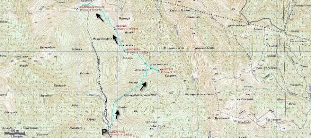
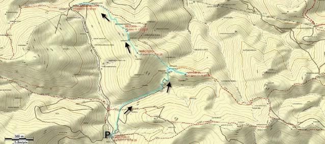
Y os dejo el mapa.
[url=http://s187.photobucket.com/albums/x273/jefoce/2010%20noviembre/?action=view&current=Sorogain-1.jpg]
[/url]
Y os dejo el mapa de Topopirineos.
[url=http://s187.photobucket.com/albums/x273/jefoce/2010%20noviembre/?action=view&current=Topopirineos-1.jpg]
[/url]
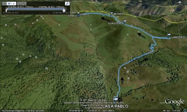
Y os dejo la imagen 3D del Google Earth.
[url=http://s187.photobucket.com/albums/x273/jefoce/2010%20noviembre/?action=view&current=Earth-1.jpg]
[/url]
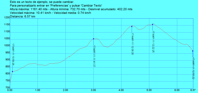
Y os dejo el perfil.
[url=http://s187.photobucket.com/albums/x273/jefoce/2010%20noviembre/?action=view&current=Sorogain.png]
[/url]
Y en wikiloc os dejo el track:
ver trackLAS NOTAS (La escala es del 1 al 5):
DIFICULTAD: 1,5. Pistas y senderos muy evidentes en ausencia de niebla. Sû°lo deberemos superar algû¤n repecho fuerte. Llevar mucha agua.
BELLEZA DEL ITINERARIO: 3,5. Preciosas vistas y ambiente bucû°lico a tope. Un paseo relajado.
IMPORTANCIA DE LA CUMBRE: 1.
Y ASû LO VIO MI PADRE: Mi partenaire me comenta que "fue un incomparable paisaje bucû°lico superior a Urbia y Alotza".
Hasta aquûÙ el espectûÀculo del Masters de Sorogain. La segunda parte, la pitanza, se la contarûˋ maûÝana hacia esta hora. Atento.