El dûÙa que subûÙ Kostalera y la Plana les comentaba que volvûÙ por una carretera que no conocûÙa. Atravesaba el altiplano de la sierra de Iturrieta y enseguida comprendûÙ que pronto volverûÙa para conocerla mejor. Ayer realicûˋ una sencilla circular desde Erroitegi para ascender a la cima de Bitigarra, cubierta por un denso hayedo. Fue una maûÝana agradable, que me permitiû° ademûÀs conocer la ermita de Santa Teodosia.
Ubicaciû°n: Sierra de Iturrieta, ûlava.
Cimas: Bitigarra (1.140m) y Lezaundi/PeûÝa Grande (1.126m).
Desnivel acumulado: 231m.
Distancia: 9,82km.
Duraciû°n: h y 40min.
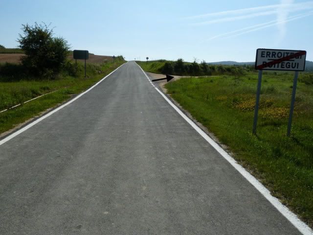
Acceso: Partimos desde la localidad alavesa de Erroitegi. Desde Donostia partimos direcciû°n Vitoria por la N-1. Pasamos Alsasua y tomamos la salida de Agurain/Salvatierra para coger la carretera que se dirige al puerto de Opakua. Lo coronamos y en el descenso estamos atentos a la carretera que, por la derecha, lleva a Iturrieta. En medio de la planicie estûÀ Erroitegi.
Ver mapa mûÀs grande10:38. Dejo el coche a la entrada de Erroitegi (944m) y vuelvo sentido Opakua para tomar la primera pista que parte hacia el sur.
[url=http://s187.photobucket.com/albums/x273/jefoce/2010%20noviembre/?action=view&current=P1010464_repor.jpg]
[/url]
Seguimos de frente.
[url=http://s187.photobucket.com/albums/x273/jefoce/2010%20noviembre/?action=view&current=P1010465_repor.jpg]
[/url]
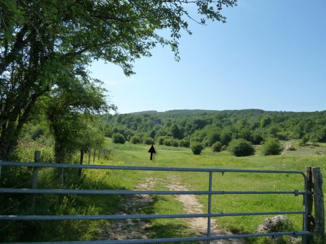
Cruzamos la barrera y seguimos al sur.
[url=http://s187.photobucket.com/albums/x273/jefoce/2010%20noviembre/?action=view&current=P1010466_repor.jpg]
[/url]
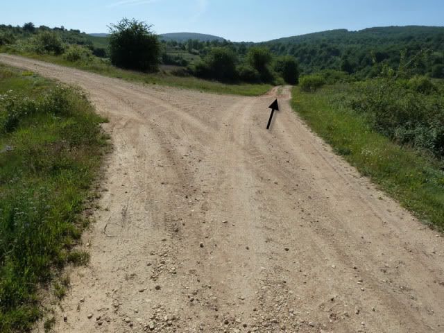
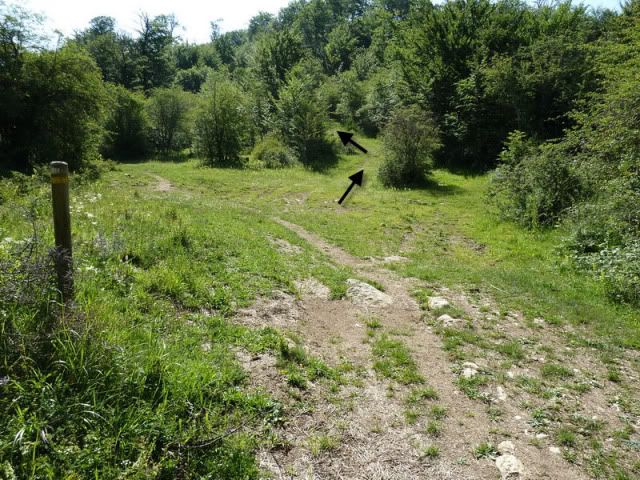
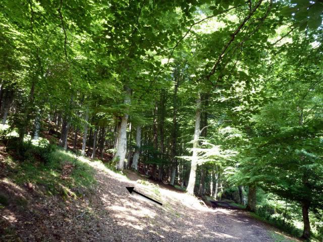
Hasta que en este punto, tomamos la vûÙa de la derecha que gana altura suavemente.
[url=http://s187.photobucket.com/albums/x273/jefoce/2010%20noviembre/?action=view&current=P1010467_repor.jpg]
[/url]
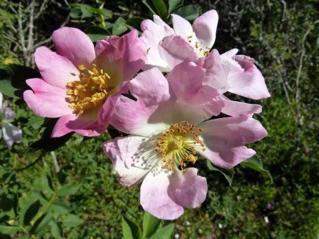
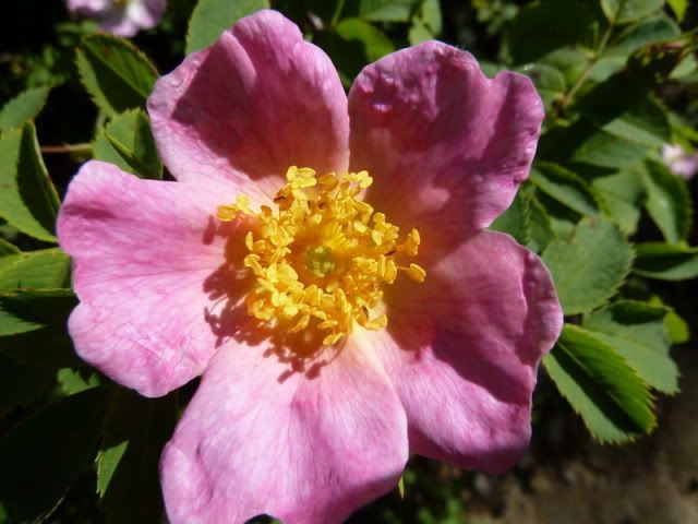
Rosas silvestres.
[url=http://s187.photobucket.com/albums/x273/jefoce/2010%20noviembre/?action=view&current=P1010468_.jpg]
[/url]
[url=http://s187.photobucket.com/albums/x273/jefoce/2010%20noviembre/?action=view&current=P1010469_.jpg]
[/url]
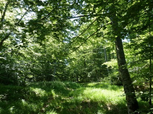
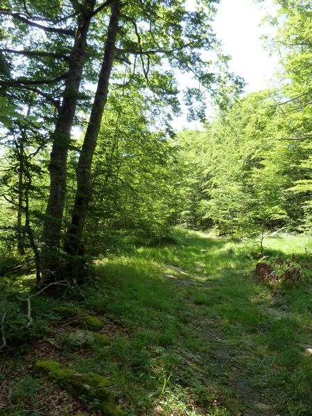
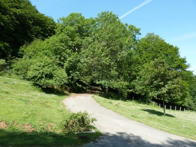
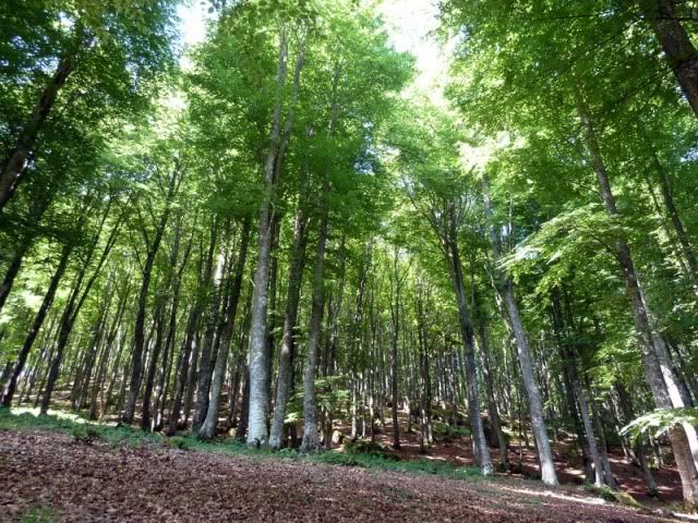
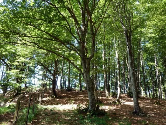
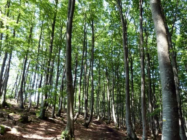
Poco a poc, nos vamos introduciendo en el hayedo. Seguramente el protagonista de la jornada.
[url=http://s187.photobucket.com/albums/x273/jefoce/2010%20noviembre/?action=view&current=P1010470_.jpg]
[/url]
[url=http://s187.photobucket.com/albums/x273/jefoce/2010%20noviembre/?action=view&current=P1010471_.jpg]
[/url]
[url=http://s187.photobucket.com/albums/x273/jefoce/2010%20noviembre/?action=view&current=P1010472_.jpg]
[/url]
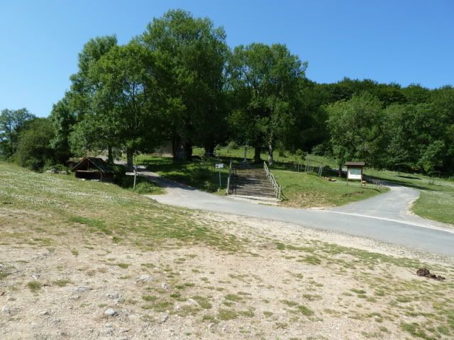
Hasta que vemos por primera vez el entorno de la ermita.
[url=http://s187.photobucket.com/albums/x273/jefoce/2010%20noviembre/?action=view&current=P1010474_.jpg]

[/url]
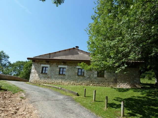
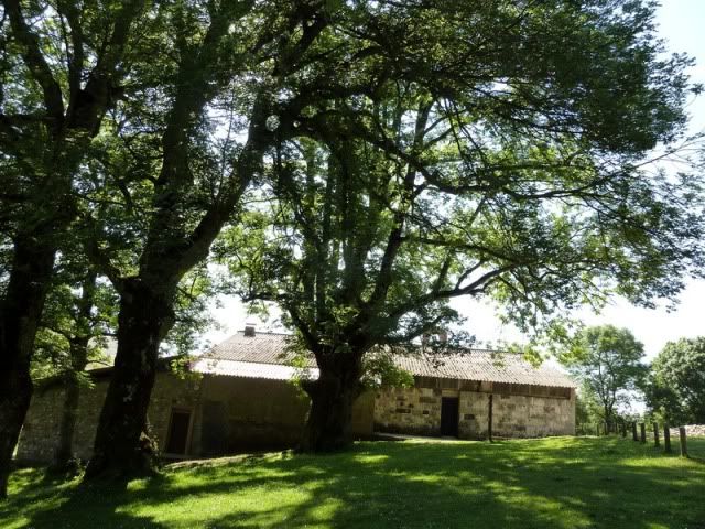
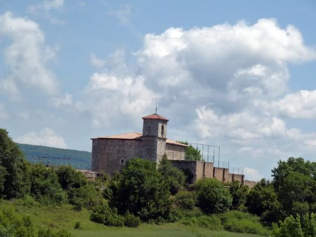
11:15. Ermita de Santa Teodosia (1.042m).
[url=http://s187.photobucket.com/albums/x273/jefoce/2010%20noviembre/?action=view&current=P1010475_.jpg]
[/url]
[url=http://s187.photobucket.com/albums/x273/jefoce/2010%20noviembre/?action=view&current=P1010476_.jpg]
[/url]
Con vistas al valle de Harana.
[url=http://s187.photobucket.com/albums/x273/jefoce/2010%20noviembre/?action=view&current=P1010477_.jpg]
[/url]
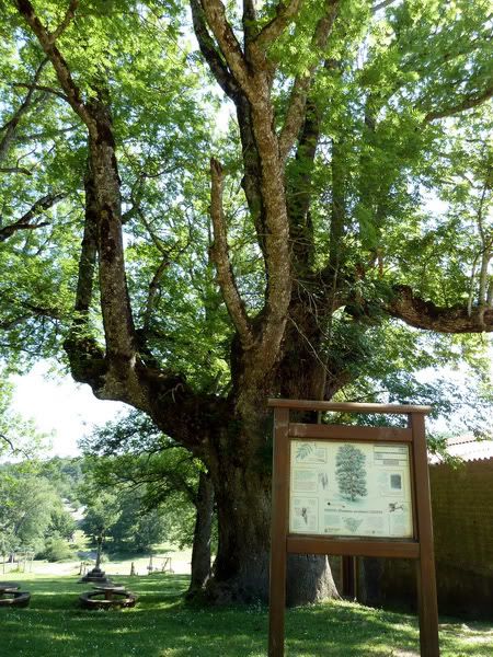
El descomunal fresno de 23 metros de altura.
[url=http://s187.photobucket.com/albums/x273/jefoce/2010%20noviembre/?action=view&current=P1010478_.jpg]
[/url]
[url=http://s187.photobucket.com/albums/x273/jefoce/2010%20noviembre/?action=view&current=P1010480_.jpg]
[/url]
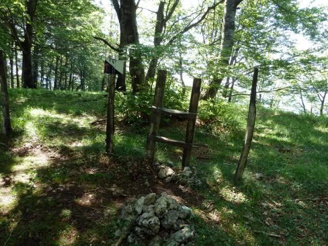
Vamos a cruzar esa barrera verde.
[url=http://s187.photobucket.com/albums/x273/jefoce/2010%20noviembre/?action=view&current=P1010481_.jpg]
[/url]
Y enseguida giramos a la izquierda para avanzar unos metros sin sendero hasta dar con el bueno.
[url=http://s187.photobucket.com/albums/x273/jefoce/2010%20noviembre/?action=view&current=P1010483_repor.jpg]
[/url]
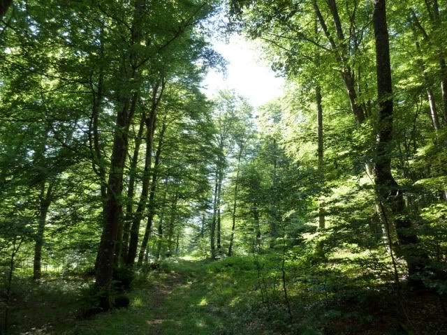
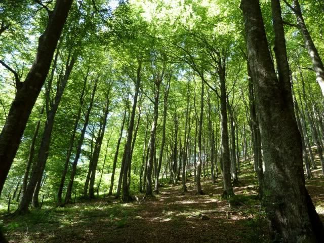
Es un hayedo magnûÙfico. Soberbio. Y muy refrescante para una jornada con tanto calor como la de ayer.
[url=http://s187.photobucket.com/albums/x273/jefoce/2010%20noviembre/?action=view&current=P1010484_.jpg]
[/url]
[url=http://s187.photobucket.com/albums/x273/jefoce/2010%20noviembre/?action=view&current=P1010485_.jpg]
[/url]
Alda.
[url=http://s187.photobucket.com/albums/x273/jefoce/2010%20noviembre/?action=view&current=P1010486_.jpg]
[/url]
San Vicente de Harana con la sierra de Kodes al fondo.
[url=http://s187.photobucket.com/albums/x273/jefoce/2010%20noviembre/?action=view&current=P1010488_.jpg]

[/url]
San Vicente de Harana.
[url=http://s187.photobucket.com/albums/x273/jefoce/2010%20noviembre/?action=view&current=P1010489_.jpg]
[/url]
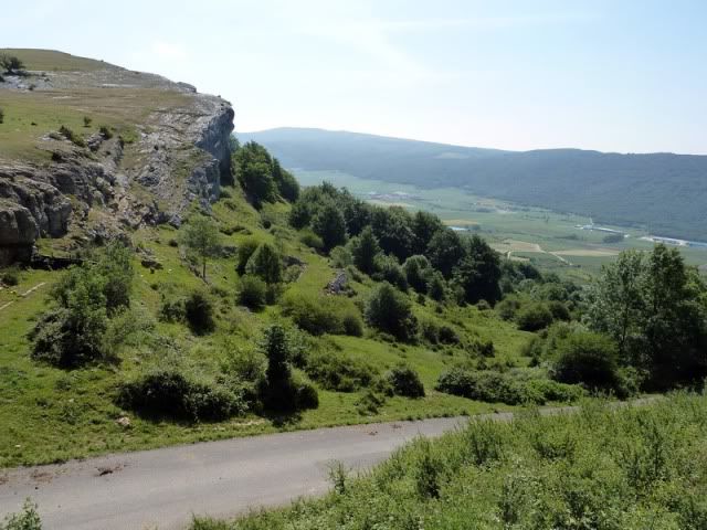
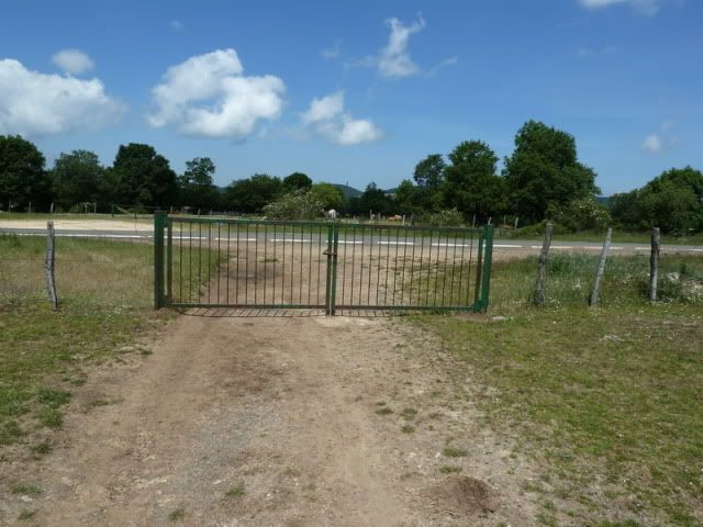
Tras un fuerte repecho, la pendiente se suaviza y avanzamos por regla general con la valla a nuestra izquierda.
[url=http://s187.photobucket.com/albums/x273/jefoce/2010%20noviembre/?action=view&current=P1010491_.jpg]
[/url]
Y este paso habilitado nos permitirûÀ llegar al buzû°n.
[url=http://s187.photobucket.com/albums/x273/jefoce/2010%20noviembre/?action=view&current=P1010492_.jpg]
[/url]
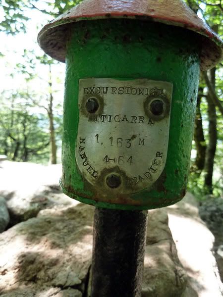
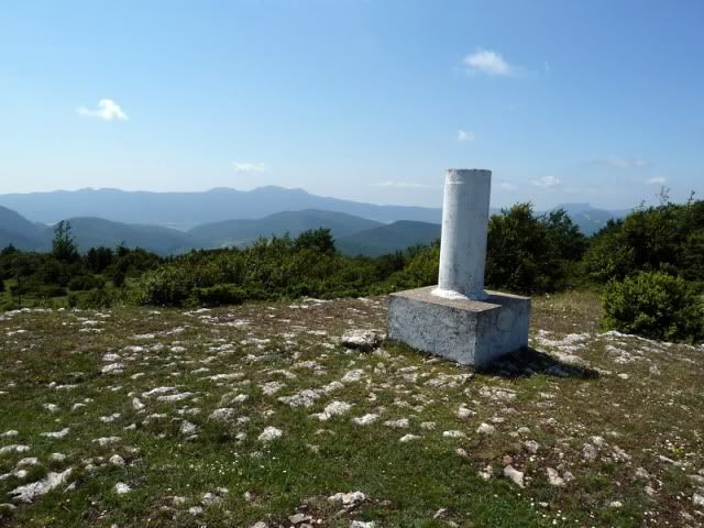
11:50. Bitigarra (1.140m), en algo mûÀs de una hora desde Erroitegi.
[url=http://s187.photobucket.com/albums/x273/jefoce/2010%20noviembre/?action=view&current=P1010493_.jpg]
[/url]
[url=http://s187.photobucket.com/albums/x273/jefoce/2010%20noviembre/?action=view&current=P1010494_.jpg]
[/url]
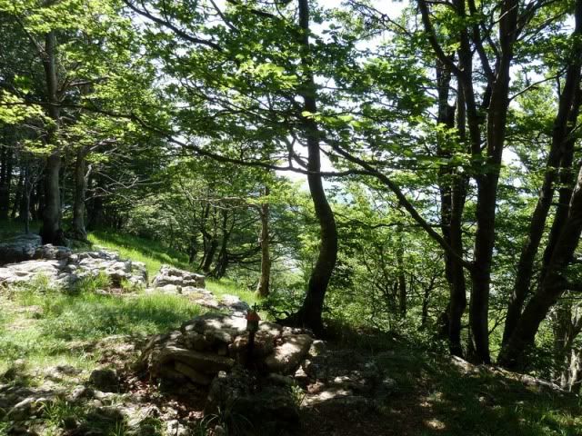
La cima apenas tiene vistas, de modo que sigo direcciû°n oeste por el hayedo.
[url=http://s187.photobucket.com/albums/x273/jefoce/2010%20noviembre/?action=view&current=P1010495_.jpg]
[/url]
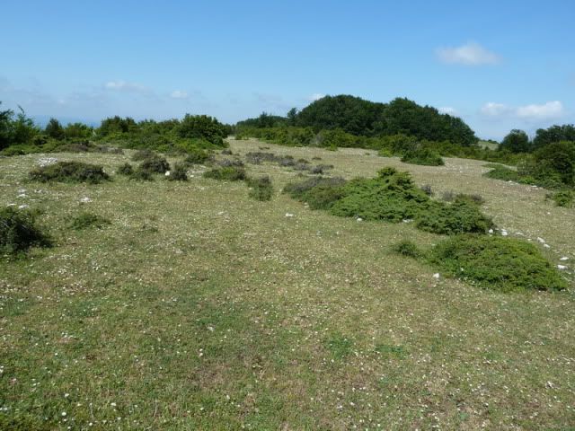
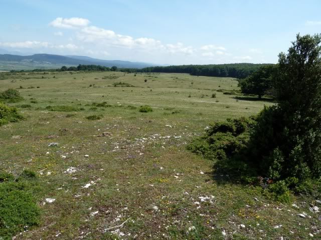
Salgo a unas campas.
[url=http://s187.photobucket.com/albums/x273/jefoce/2010%20noviembre/?action=view&current=P1010496_.jpg]
[/url]
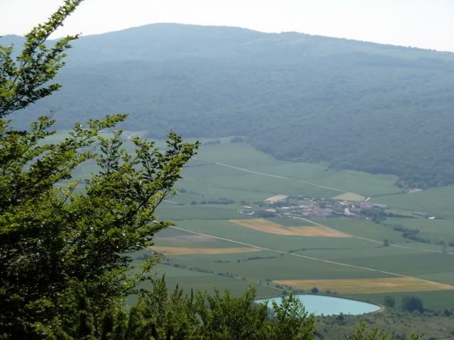
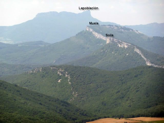
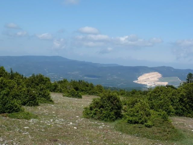
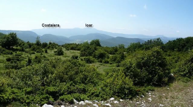
Con vistas a la sierra de Izki y Cantabria.
[url=http://s187.photobucket.com/albums/x273/jefoce/2010%20noviembre/?action=view&current=P1010498_repor.jpg]
[/url]
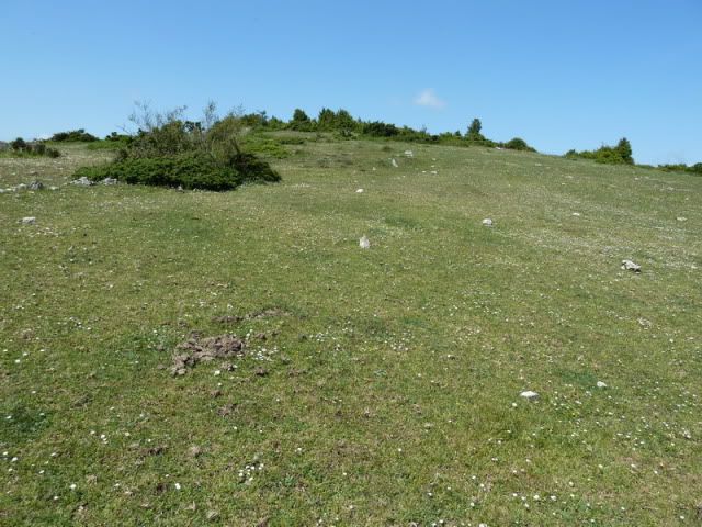
En este entorno se halla la segunda cima.
[url=http://s187.photobucket.com/albums/x273/jefoce/2010%20noviembre/?action=view&current=P1010499_.jpg]
[/url]
12:09. Lezaundi/PeûÝa Grande (1.126m).
[url=http://s187.photobucket.com/albums/x273/jefoce/2010%20noviembre/?action=view&current=P1010500_.jpg]
[/url]
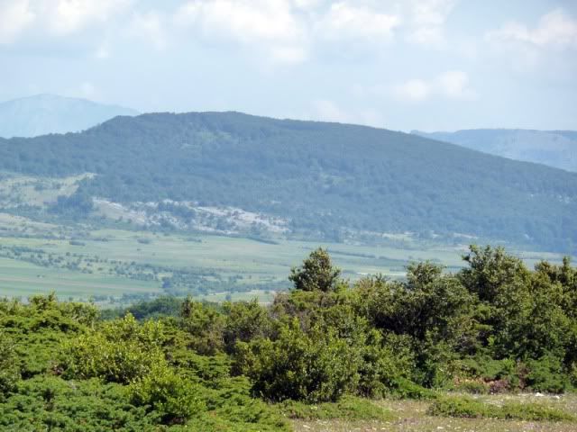
Hacia Kapildui-Azazeta.
[url=http://s187.photobucket.com/albums/x273/jefoce/2010%20noviembre/?action=view&current=P1010501_.jpg]
[/url]
Arrigorrista.
[url=http://s187.photobucket.com/albums/x273/jefoce/2010%20noviembre/?action=view&current=P1010503_.jpg]
[/url]
Una pano al sur.
[url=http://s187.photobucket.com/albums/x273/jefoce/2010%20noviembre/?action=view&current=pano1_repor-7.jpg]
[/url]
Tras comer una manzana, emprendo el regreso por las cercanas campas.
[url=http://s187.photobucket.com/albums/x273/jefoce/2010%20noviembre/?action=view&current=P1010507_.jpg]
[/url]
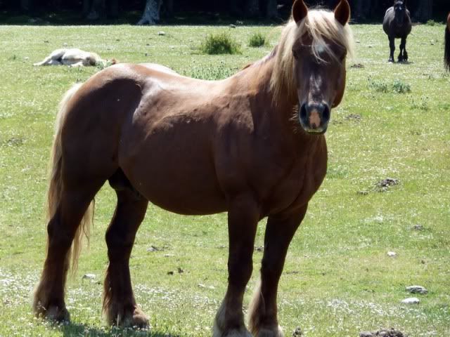
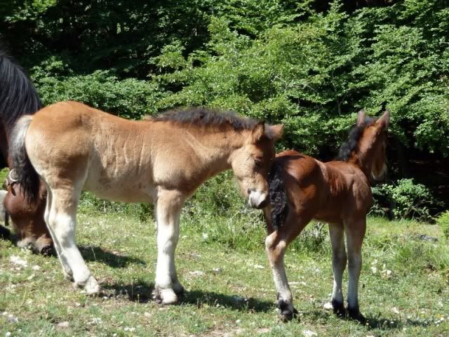
Donde los caballos pastan a sus anchas.
[url=http://s187.photobucket.com/albums/x273/jefoce/2010%20noviembre/?action=view&current=P1010508_.jpg]
[/url]
[url=http://s187.photobucket.com/albums/x273/jefoce/2010%20noviembre/?action=view&current=P1010511_.jpg]
[/url]
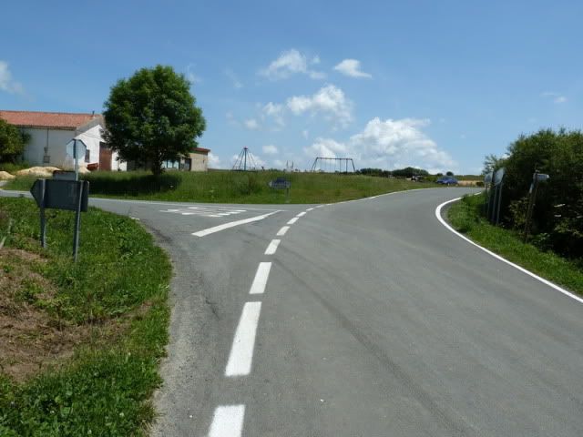
Un camino bastante monû°tono me devuelve al punto de partida. Primero a la carretera.
[url=http://s187.photobucket.com/albums/x273/jefoce/2010%20noviembre/?action=view&current=P1010512_.jpg]
[/url]
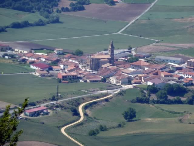
Y girando a la derecha me queda un kilû°metro para llegar a Erroitegi, aquûÙ con su iglesia.
[url=http://s187.photobucket.com/albums/x273/jefoce/2010%20noviembre/?action=view&current=P1010513_.jpg]
[/url]
AllûÙ estûÀ el coche.
[url=http://s187.photobucket.com/albums/x273/jefoce/2010%20noviembre/?action=view&current=P1010514_.jpg]
[/url]
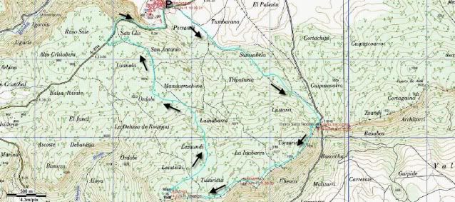
Y os dejo el mapa.
[url=http://s187.photobucket.com/albums/x273/jefoce/2010%20noviembre/?action=view&current=Bitigarra.jpg]
[/url]
Y en wikiloc os dejo el track:
ver trackLAS NOTAS (La escala es del 1 al 5):
DIFICULTAD: 2. Sencilla excursiû°n, con muy poco desnivel, que sû°lo exige atenciû°n en el bosque para no extraviarse.
BELLEZA DEL ITINERARIO: 3,5. Preciosos hayedos y muy buenas vistas del interior de ûlava. El entorno de Santa Teodosia es muy relajante.
IMPORTANCIA DE LA CUMBRE: 2.
Ya conozco un poco mejor la sierra de Iturrieta. La prû°xima incursiû°n serûÀ para recorrer el barranco de Igoroin.